
Bali weather at JMA station Denpasar/Ngurah Rai
The Japan Meteorological Agency's station 97230, Denpasar/Ngurah Rai, provides monthly temperature and rainfall normals for 1991 to 2020. This is a southern coastal station. Its figures describe the long-term pattern at that location and give a useful starting point for understanding seasonal rainfall. They are not a forecast for a particular arrival date or a measurement for every part of the island.
Read the temperature column as a monthly mean. It is neither the expected afternoon maximum nor the overnight minimum. A traveller choosing clothing or planning an early mountain outing needs more specific information than a coastal monthly average. For choosing dates rather than reading the measurements, continue to the season and activity planning guide.
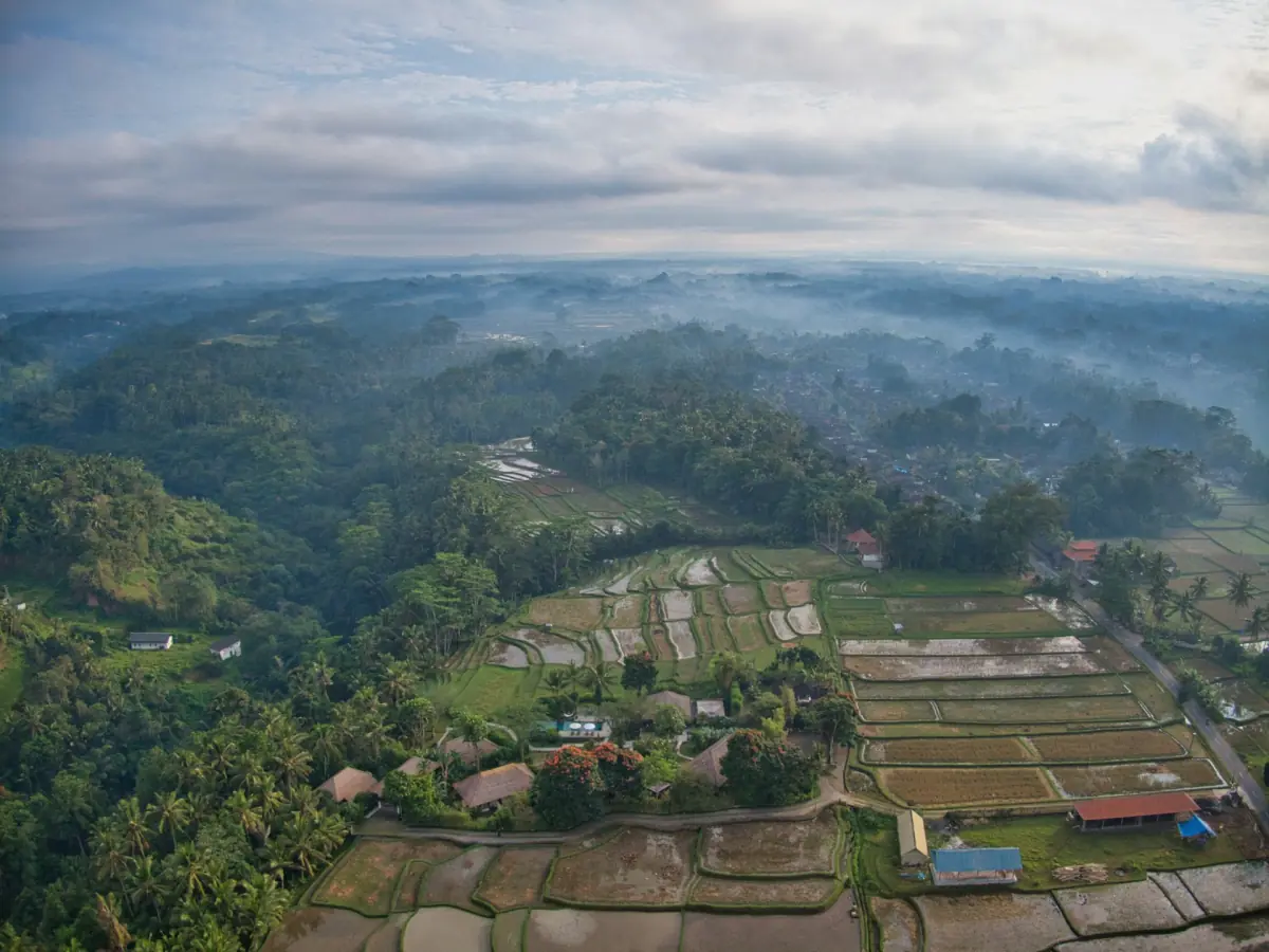
Monthly means and rainfall
All figures in this table come from the same JMA station and normal period, 1991 to 2020. Rainfall is the monthly precipitation normal in millimetres. It does not show how rain was distributed between individual days. A month with a lower total can still contain wet days, while a wetter monthly normal leaves the timing of rain on your excursion day open.
| Month | Mean temperature °C | Rainfall mm |
|---|---|---|
| January | 27.9 | 350.7 |
| February | 28.0 | 289.8 |
| March | 28.0 | 231.1 |
| April | 28.1 | 107.4 |
| May | 27.8 | 94.7 |
| June | 27.2 | 67.9 |
| July | 26.5 | 27.6 |
| August | 26.3 | 36.4 |
| September | 26.8 | 59.4 |
| October | 27.6 | 64.4 |
| November | 28.2 | 131.2 |
| December | 28.0 | 327.4 |
July and August have the lowest rainfall normals in this series. December through March are substantially wetter. Reading this pattern as a planning aid points towards roughly May to October for a lower-rainfall stay in southern Bali. That is an interpretation of the station data, rather than a promise of dry weather. Keep the distinction when comparing dates or deciding whether an outdoor activity belongs early or late in your itinerary.
Regional limits: coast, Ubud and Batur
Ubud lies inland, and Batur is a mountain destination in Kintamani. Bedugul and Nusa Penida also need their own location-specific weather information. The coastal station's warm monthly means should not be used as summit temperatures or as a forecast for a rice-field visit. Set the destination in your weather service to the place you will actually visit, rather than relying on a general search result labelled Bali.
For a guided Batur hike, prepare warm clothing as well as water and the arrangements with your guide. Mountain visibility on a sunrise outing depends on conditions. If the main purpose is the view, leave flexibility in the itinerary rather than treating a lower-rainfall month as a guarantee of a clear horizon.
Weather and the sea
Air temperature and rainfall tell only part of the story for a boat trip. Use current BMKG wave information for the relevant waters and follow operating instructions for the chosen departure. A regional wave forecast, conditions inside a harbour and swimming conditions at a beach describe different settings. A sheltered-looking departure point is not enough to establish the conditions throughout the crossing or at the destination.
For a Nusa Penida day trip, include the land journey to the harbour, check-in and the return connection in the plan. Make a separate decision about swimming or snorkeling using the conditions and instructions on the day. Dry weather on shore does not establish safe sea access. Keep an alternative land day available when water activities are central to your stay.
A weather-dependent waterfall outing
The guided waterfall excursion includes hotel collection and return, bottled water and parking. Admission tickets belong to the ticket option; lunch belongs to the ticket-and-lunch option. It offers an organised way to visit waterfall scenery, with the day's access and conditions still relevant. Select the option and participation requirements for the outing you intend to take, rather than treating a favourable seasonal average as an assurance of access or water level.
A guided day out
This guided excursion includes hotel pickup and lets you select ticket and lunch options.
Hand-picked tours, booked through GetYourGuide. Prices are indicative starting prices in US dollars (as of November 2026). Tap a tour for live availability and the current price in your currency.
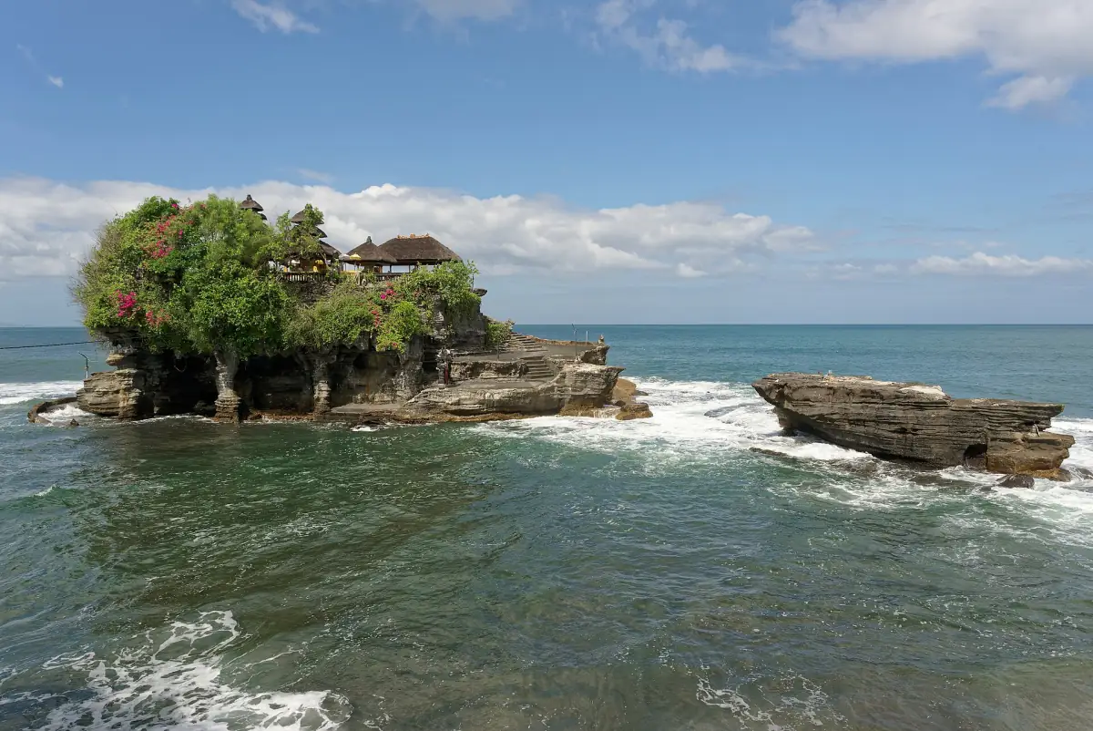
Waterfall scenery with a guide
A hotel-based excursion with tickets and lunch available through the matching options; access depends on conditions.
Using the daily forecast
As the travel date approaches, replace broad seasonal expectations with the forecast for the actual place and activity. Look at the outing and its return journey together. A flexible sightseeing day, a mountain morning and a boat crossing have different planning needs. Keep the guide's or crew's instructions alongside current weather information, and use the monthly table as background rather than as permission to proceed.
Weather questions
Are these daily high temperatures?
They are monthly means for 1991 to 2020, not daily maximum or minimum temperatures.
Which months have the least rain in this series?
July and August have the lowest rainfall normals at Denpasar/Ngurah Rai.
Can the table predict conditions on Batur?
Use a forecast for the mountain and guidance for the chosen outing. The station represents the southern coast.